Severe storms threatens Central and Eastern U.S.
FOX Weather Meteorologist Bob Van Dillen breaks down the severe storm threat starting Wednesday and continuing into Thursday, with rain totals of up to 2 inches in some areas.
A multi-day severe weather threat that is impacting the Heartland will spread into the Eastern Seaboard starting Wednesday through Thursday.
The same cold front responsible for the upcoming Tuesday storms is expected to push through the Mississippi Valley and eventually into the Ohio and Tennessee valleys, triggering thunderstorm development. That storm system spans over 1,000 miles.
There is still some uncertainty surrounding the storm’s impacts because storms from Tuesday night and early Wednesday morning may still be ongoing.
The FOX Forecast Center said those storms could leave behind clouds and rain that limit how much the atmosphere can warm and become unstable later in the day.
Despite this, conditions across the Ohio Valley could support strong storm development due to increasing moisture near the ground and strong winds higher in the atmosphere. These ingredients would help organize a storm.

(FOX Weather)
There could be a few storms across the Deep South, Southwest and Lower Mississippi Valley. If this area remains quiet, the atmosphere could become more unstable ahead of an approaching cold front.
‘MELISSA’ OFFICIALLY RETIRED FROM FUTURE HURRICANE NAMES FOLLOWING DEADLY DESTRUCTION IN JAMAICA
If this occurs, storms could develop in several ways, with some forming ahead of the front. At the same time, a larger line of thunderstorms moves to the east.
Locations such as Nashville, Tennessee, Charleston, South Carolina and Pittsburgh are under a Level 2 out of 5 severe storm threat.

(FOX Weather)
Nashville could see moderate rainfall ranging from 1 to 2 inches through Thursday. Despite this, the region has experienced dry weather recently and could certainly use the precipitation.
NOAA’S STORM PREDICTION CENTER DEBUTS REVAMP TO SEVERE WEATHER OUTLOOKS THIS SEASON
By Thursday, the severe weather risk will continue through parts of the Mid-Atlantic and Southeast as a cold front sweeps across the eastern U.S.
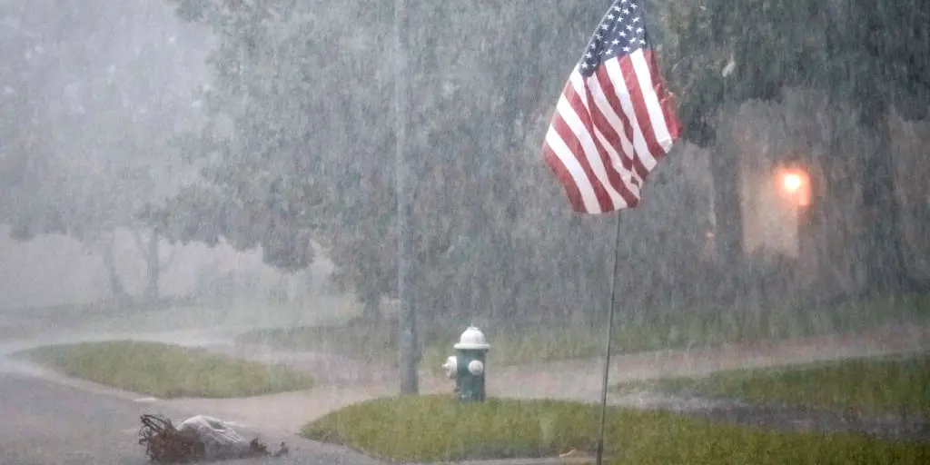
Lightning flashes across Wellington, Texas, amid severe storms Thursday.
The severity of Thursday’s severe weather risk will depend on how the storms on Wednesday evolve.
If widespread storms develop earlier and move ahead of the front, they could use up much of the available atmospheric energy, reducing the threat of stronger storms later.
DEADLY TORNADO DEVASTATES UNION CITY, MICHIGAN, CARVING A PATH OF HEARTBREAKING DAMAGE IN COMMUNITY
Regardless of storm severity, it is expected to produce 1 to 2 inches of rain in most states east of the Mississippi River, which could use the wet weather amid drought conditions.
Source link
editor's pick
latest video
Sports News To You
Subscribe to receive daily sports scores, hot takes, and breaking news!