Parts of the country are seeing recording-breaking snowfall
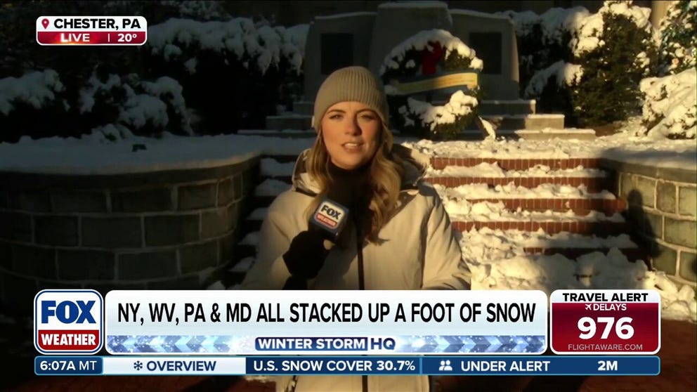
FOX Weather Correspondent Katie Byrne is live in Chester, Pennsylvania with a recap of the powerful snowstorm that covered the area over the weekend, now followed by life-threatening cold impacting nearly two dozen states and raising travel concerns. Latest:
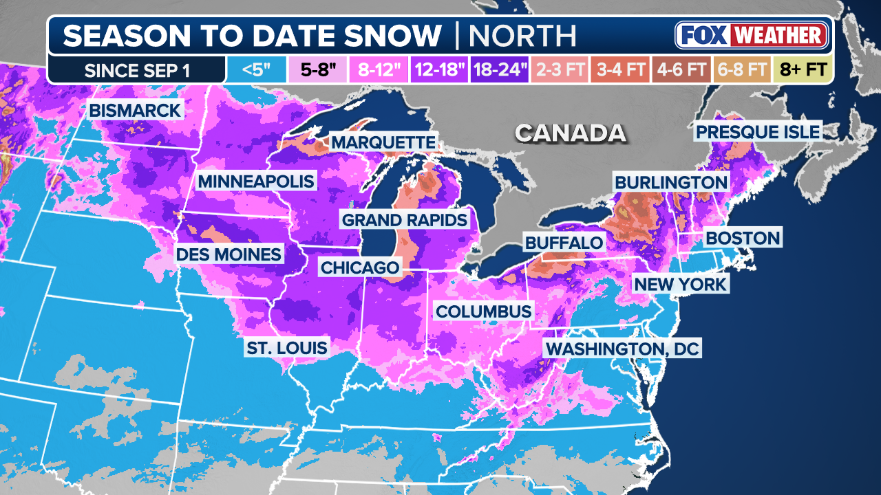
After years of a snow drought, the Northern Tier is seeing an extremely snowy start to the meteorological winter season, with some locations seeing more than 400% above their average snowfall.
Currently, many cities are sitting on nearly two feet above normal.
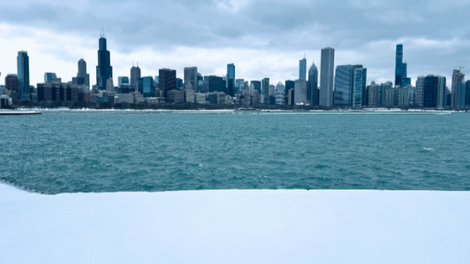
This is seen in South Bend, IN, where they have 36.3 inches, while Chicago has recorded 17.3 inches this season with more than 15 inches falling between Nov. 29 and Dec. 7.
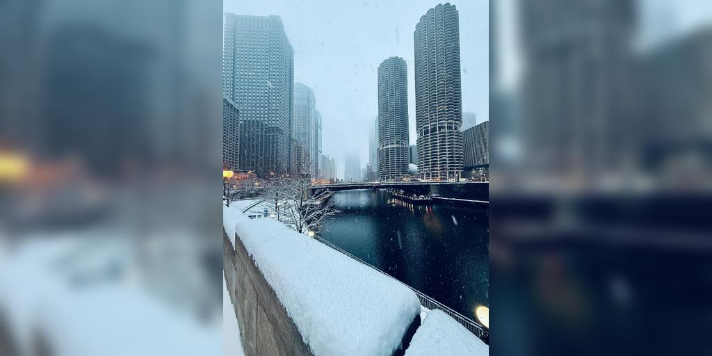
Snowy scenes throughout Chicago amid first round of clipper system
(FOX Weather Correspondent Robert Ray / FOX Weather)
It’s not just the Midwest that is experiencing increased snowfall this season. Cities across the Ohio Valley are above average as well.
In Indianapolis, they recorded a total of 14.7 inches of snowfall this year with 11.2 inches of that falling in December.
So far, this is Indianapolis’ second-snowiest start to winter since their records began in 1871 and if the city gets any more snow this month, it will rank third place for the snowiest December on record.
(FOX Weather)
Another city that has caught the FOX Forecast Center’s eye is Cincinnati, OH, which has recorded 13.4 inches of snow so far this year. For December alone, the city saw 10.8 inches of snow.
If an additional 5.8 inches fall before the end of the month, it will tie for the snowiest December on record.
In Syracuse, NY, they are currently sitting on 40.6 inches of snow, putting the city at nearly double what they typically see during this time of year.
EERIE SIGHT: BITTER COLD TRANSFORMS MICHIGAN LIGHTHOUSE INTO ‘ICE MONSTER’
Several factors have contributed to this snowy winter season. First, the position of the jet stream has allowed for repeated surges of moisture to sweep through the Midwest and Northeast. The jet stream placement has also opened the door for continued Arctic air to spill into the east. The combination of colder temperatures and storm patterns has created a perfect paring for endless snow.
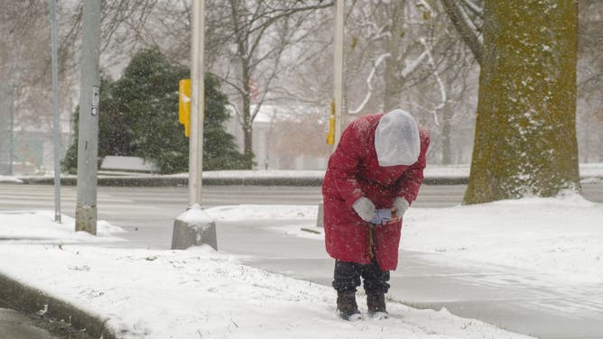
BLOOMINGTON, INDIANA DECEMBER 13: A person near Seminary Kroger bends over to put on their gloves in the snow, on December 13, 2025 in Bloomington, Indiana.
(Jeremy Hogan/Getty Images / FOX Weather)
But a longer-range forecast is predicting that many of these areas will see warmer temperatures at the end of the month.
Locations from Iowa through Pennsylvania will have limited snow coverage as a warm pressure system sweeps through the area, which will cause the snow to melt.
This doesn’t mean all areas will fully escape the snow, but there may be a lot less.
Source link
editor's pick
latest video
Sports News To You
Subscribe to receive daily sports scores, hot takes, and breaking news!