Will tropical activity in the Atlantic heat up in August?
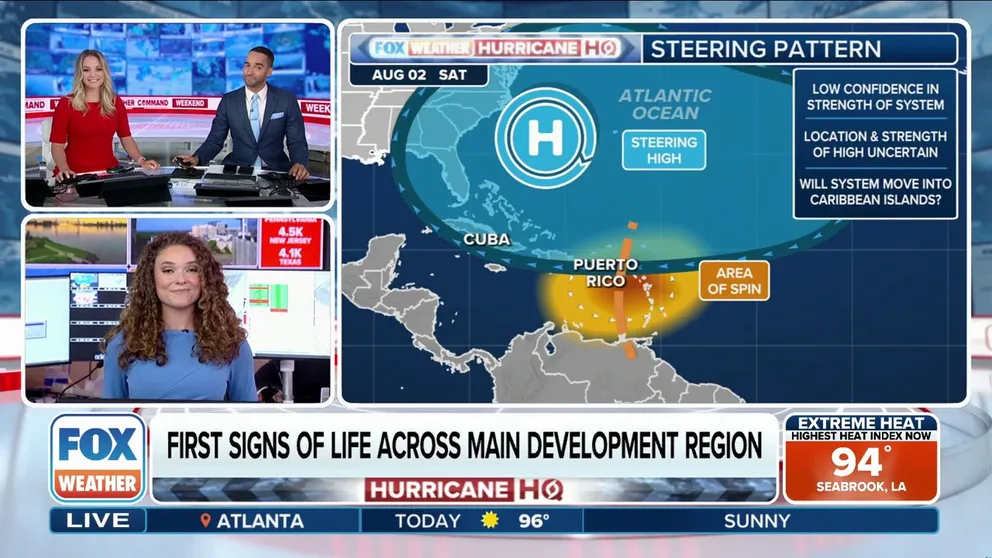
Tropical activity in the Atlantic basin could begin to heat up as we enter the first week of August. FOX Weather Meteorologists Bayne Froney, Michael Estime and Haley Meier break down the latest forecast on July 27, 2025.
MIAMI – It’s been a quiet start to the 2025 Atlantic hurricane season, but all that could change dramatically as we head into the first part of August.
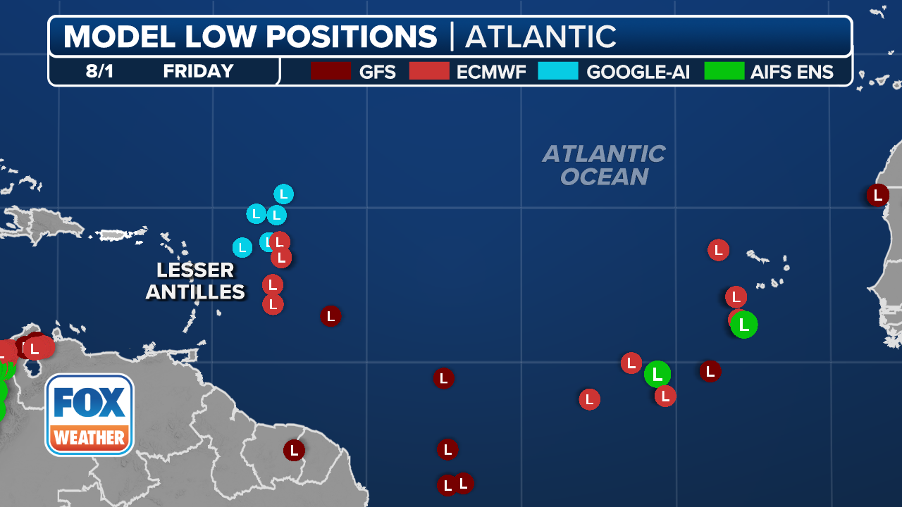
The FOX Forecast Center is monitoring two areas for possible tropical development over the next 10 days or so – one being in the Atlantic and one in the Gulf.
(FOX Weather)
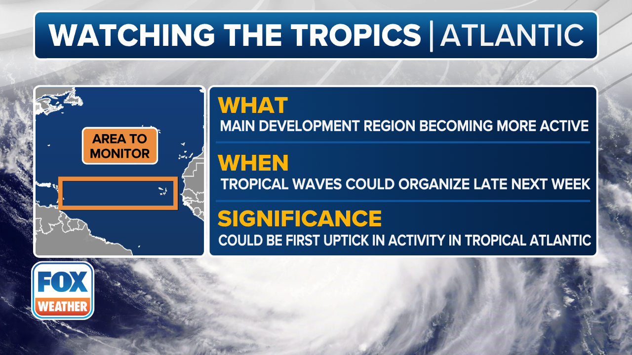
As we head into the final days of July and the start of August, the focus on tropical development shifts east into the tropical Atlantic Ocean.
There isn’t anything imminently on the horizon when it comes to tropical activity in the Main Development Region (MDR), but computer forecast models are starting to wake up and show some potential for tropical development as a disturbance moves off the western coast of Africa during the first part of August.
Some development will be possible after that as the system moves across the Atlantic toward the Lesser Antilles, but it remains highly uncertain at this time.
The FOX Forecast Center said the potential disturbance would spawn from the increasing frequency of tropical waves moving off Africa.
DOWNLOAD THE FREE FOX WEATHER APP
(FOX Weather)
Forecasters said there will be a noticeable shift in the large-scale pattern of rising and sinking air taking place.
The Atlantic will be moving from a state of sinking air to a pattern with rising air, which will promote more thunderstorm and rain activity for any developing tropical waves.
The potential system would still have some Saharan dust to contend with, as well as some hostile easterly winds before finding a favorable environment for development.
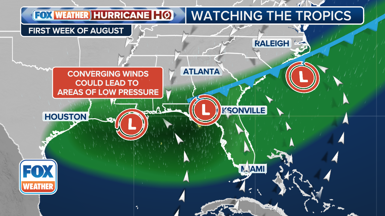
More activity possible along Southeast, Gulf coasts
(FOX Weather)
The other area getting some attention for potential tropical development exists along the Southeast and Gulf coasts of the U.S.
Those areas have been a hotspot recently, and that’s not likely to change through at least the end of July.
The FOX Forecast Center said a large, mid-level ridge of high pressure is expected to build over the central U.S., which is part of the broader summer heat pattern that’s locking in.
As that ridge slides off to the west, it will open the door once again for stalled fronts and boundaries to settle along the Southeast and Gulf coasts.
NOAA’s Climate Prediction Center (CPC) is highlighting the same zone next week for a low chance of tropical development.
The FOX Forecast Center said it’s still way too early to pinpoint any single potential disturbance, but the setup could bring another round of unsettled weather to the same spots that have already been active over the past few weeks.
If one of those fronts stalls in a more favorable area for development, there’s an outside chance that a weak tropical system could try to form.
As the ridge out West becomes more established, there will be a better picture of whether a tropical threat will emerge.
Source link
editor's pick
latest video
Sports News To You
Subscribe to receive daily sports scores, hot takes, and breaking news!