Heavily traveled Interstate 95 corridor faces severe weather threat for evening commute

Severe storms are possible in Washington, D.C., Philadelphia and New York Thursday afternoon. The primary threat is damaging wind gusts up to 60 mph.
WASHINGTON – Washington, D.C., Philadelphia, New York City and other heavily populated areas across the Interstate 95 corridor in the mid-Atlantic and Northeast are expected to see potentially damaging severe weather Thursday, part of a sprawling threat that covers more than 134 million people.
Warm temperatures and high humidity across the region will set the stage for thunderstorms set to fire Thursday afternoon, threatening the evening commute with damaging wind gusts of 60 mph being the primary threat.
These storms will be driven by a low-pressure system moving out of the Midwest and Great Lakes that left a trail of destruction Wednesday.
More than 93,000 power outages were reported in Indiana, and more than 73,000 have been reported in Ohio as of Thursday morning.
Severe storms produced reports of tornadoes in Missouri, Illinois, Michigan and Iowa on Wednesday. A 71-mph wind gust that brought down powerlines was recorded in Owen, Indiana on Wednesday night.
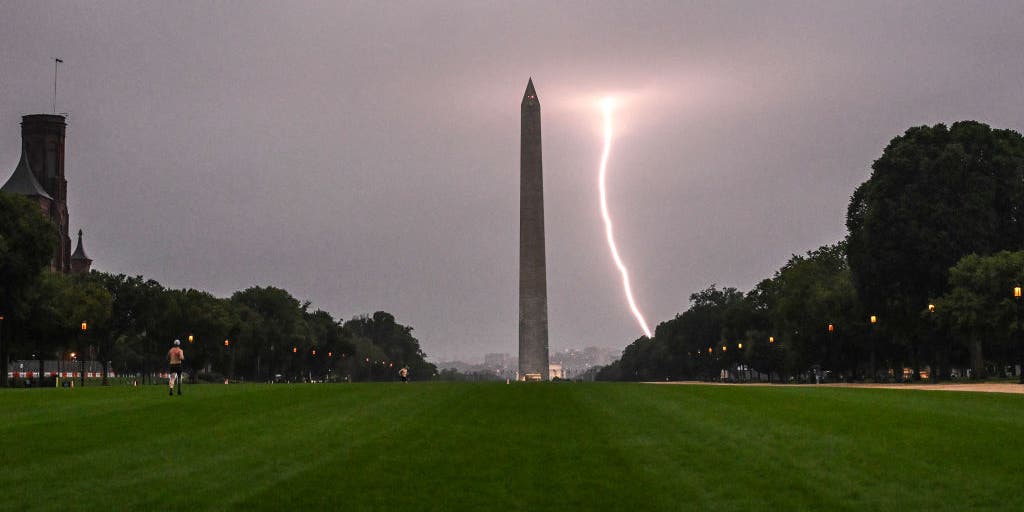
Washington, D.C., Baltimore in bull’s eye of severe weather threat Thursday
A broad severe weather threat covers parts of the Southeast through parts of Maine Thursday.
NOAA’s Storm Prediction Center has issued a Level 3 out of 5 risk of severe thunderstorms covering the densely populated metro areas of Washington, D.C., Baltimore, Philadelphia, and Newark, New Jersey.
A Level 2 out of 5 threat covers New York City and a wide swathe of the Northeast, as well as parts of Virginia and North Carolina to the south.
Severe thunderstorms are expected to fire up during the mid to late afternoon hours, threatening the evening commute and air travel at some of the country’s busiest airports.

(FOX Weather)
Damaging wind gusts are the primary threat, with tornadoes possible in New York City
Damaging wind gusts of up to 60 mph are expected to be the mode of severe weather threat, with the greatest risk in the same area where the Level 3 out of 5 risk was issued in the mid-Atlantic.
According to the FOX Forecast Center, there is a chance of a few tornadoes from New York City north to Burlington, Vermont, closer to an area of low pressure and higher wind shear.
Storms are expected to clear by Friday morning.

(FOX Weather)
Source link
editor's pick
latest video
Sports News To You
Subscribe to receive daily sports scores, hot takes, and breaking news!