Washington DC faces flood threat as storm sweeps through mid-Atlantic, Northeast
The same storm system that brought severe weather and flooding rains from the Gulf Coast to the Southeast has started its onslaught on the mid-Atlantic with cities like Washington, D.C., seeing a flood threat on Tuesday. FOX Weather Meteorologist Britta Merwin breaks down the latest forecast on Tuesday, May 13.
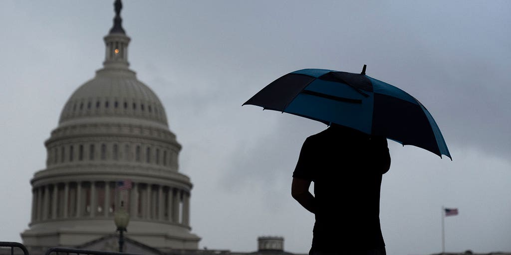
WASHINGTON – A slow-moving but potent storm system that slammed the Southeast with torrential rain and severe weather is finally inching its way toward the mid-Atlantic and Northeast, putting millions of people in cities like Washington and Baltimore at risk of flash flooding.

(FOX Weather)
As the area of low pressure continues on its journey to the northeast, it’s pulling in moisture from the Atlantic Ocean, setting the stage for more widespread rain and thunderstorms, especially during the afternoon hours on Tuesday and Wednesday.
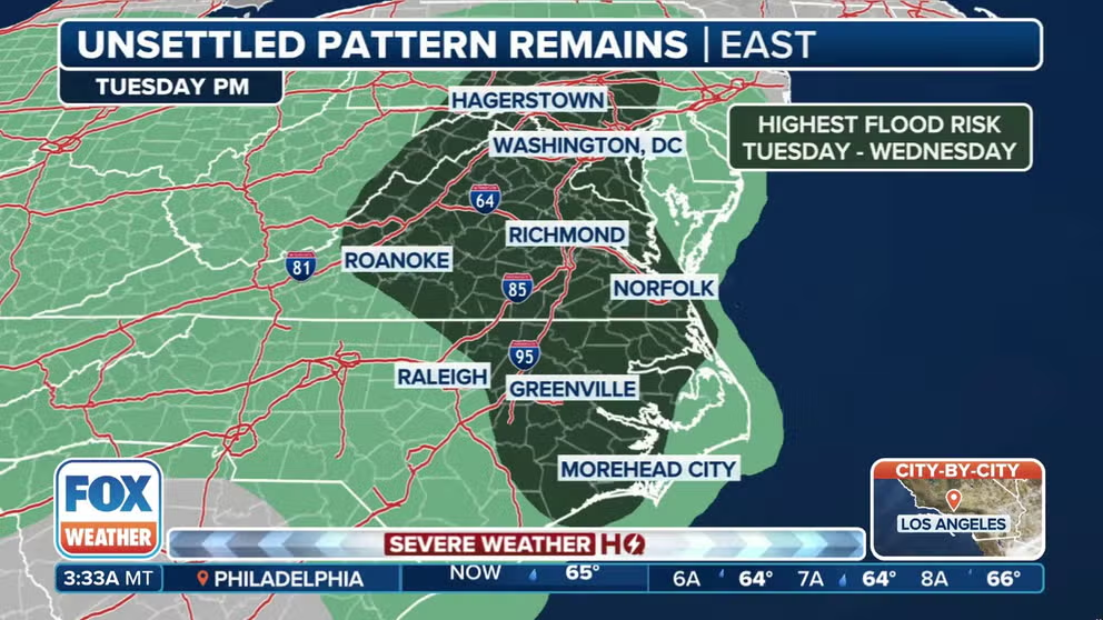
In addition, the flood threat is growing along the East Coast from the mid-Atlantic through the Northeast due to the risk of torrential rain.
DOWNLOAD THE FREE FOX WEATHER APP

(FOX Weather)
NOAA‘s Weather Prediction Center (WPC) has highlighted portions of several states where there’s a risk of flooding from the Southeast and Ohio Valley to the Northeast. However, the WPC placed areas of the mid-Atlantic, including Washington and Baltimore, in a Level 2 out of 4 threat of flash flooding on Tuesday.
The FOX Forecast Center said that rain totals are expected to be highest in the mid-Atlantic over the next few days, but parts of the Northeast could also pick up a few inches of rain by the time this latest system moves out of the region.
HOW MUCH LITERALLY IS A ‘BOATLOAD’ OF RAIN?

(FOX Weather)
Some severe weather could also be a concern as the storm system roars across the region.
The FOX Forecast Center said powerful thunderstorms are possible in the mid-Atlantic and Northeast on Tuesday, but the risk is relatively low.
BUZZ WORDS YOU COULD HEAR DURING SEVERE WEATHER

(FOX Weather)
NOAA’s Storm Prediction Center (SPC) highlighted portions of West Virginia, Virginia, North Carolina and coastal Maryland in a Level 1 threat on its 5-point severe thunderstorm risk scale.
This includes cities like Raleigh in North Carolina and Norfolk in Virginia.
The threat expands on Wednesday, with cities along the Interstate 95 corridor from the Carolinas to the Northeast also in a Level 1 threat.
This includes cities like Charleston in South Carolina, Raleigh in North Carolina, Norfolk in Virginia and Washington, D.C.
Source link
editor's pick
latest video
Sports News To You
Subscribe to receive daily sports scores, hot takes, and breaking news!